

CLICK ON THE IMAGE to read more
The most westerly point of Latitude 25 on the mainland. 900 kms north of Perth it is the place where the desert meets the sea, red soil into blue ocean. Strong winds blow from the south-west for the summer months, taking the edge off the heat. Located at the mouth of the Gascoyne River, the town capitalises on both the 'upside down river' (aquifer) and the ocean with agriculture and fishing being the primary industries. The incredible fishing is aided by the proximity of two World Heritage Sites; Shark Bay and Ningaloo Reef. Carnarvon is a town with a patch work history of, industry and black and white relations. The buildings of the town are symbolic of this, yet with no clear style, the town’s buildings flop around with varying constructions. Most of the grand buildings in the town centre all belong to a similar time period of the early 1900’s when the place was thriving and the port was busy. Weather restricted us from getting to Dorre Island, our final stop. An island with a broadly unknown history of lock hospitals isolating indigenous only, yet now are quarantine islands for endangered animals.
Explore our exhibition ‘The Architecture Exchange’, collecting the data we cannot measure. What is your story tied to a place?
CLICK ON THE IMAGE to read on

For our final exhibition we made a series of cards about the architecture of Carnarvon and traded these at the Christmas market for the one thing we couldn’t document…people’s experience. There are a series of stories on the coloured paper about how locals see Carnarvon. CLICK ON THE IMAGE to see the booklet of our cards.
• Sub tropical climate, Carnarvon Biogeographic region
• month avg temps; Feb max - 32.5 | jul min - 10.9
• Mean annual rainfall 223 mm
• Population 4426
• Elevation 4m
• In 2007 Carnarvon grew $87.6 million worth of fruit and vegetables, annually providing approx. 70% of the WA’s winter fruit and veg
• Water is pumped from the Birdrong Aquifer for the town’s production with 48% used for mining and industry. Anecdotally the water isgetting saltier as the rate of use is exceeding the rate in which it is being filled, taking 10,000 years to percolate down
• high levels of solar irradiation, Carnarvon is in the world’s top three sunniest spots

We made it! 7650kms later we washed the dust of the road off us in the Indian Ocean.

Carnarvon has a huge space and technology museum as it played a vital role in communication with the moon landing. There are some pretty impressive structures that sit now as relics of a former technological future.

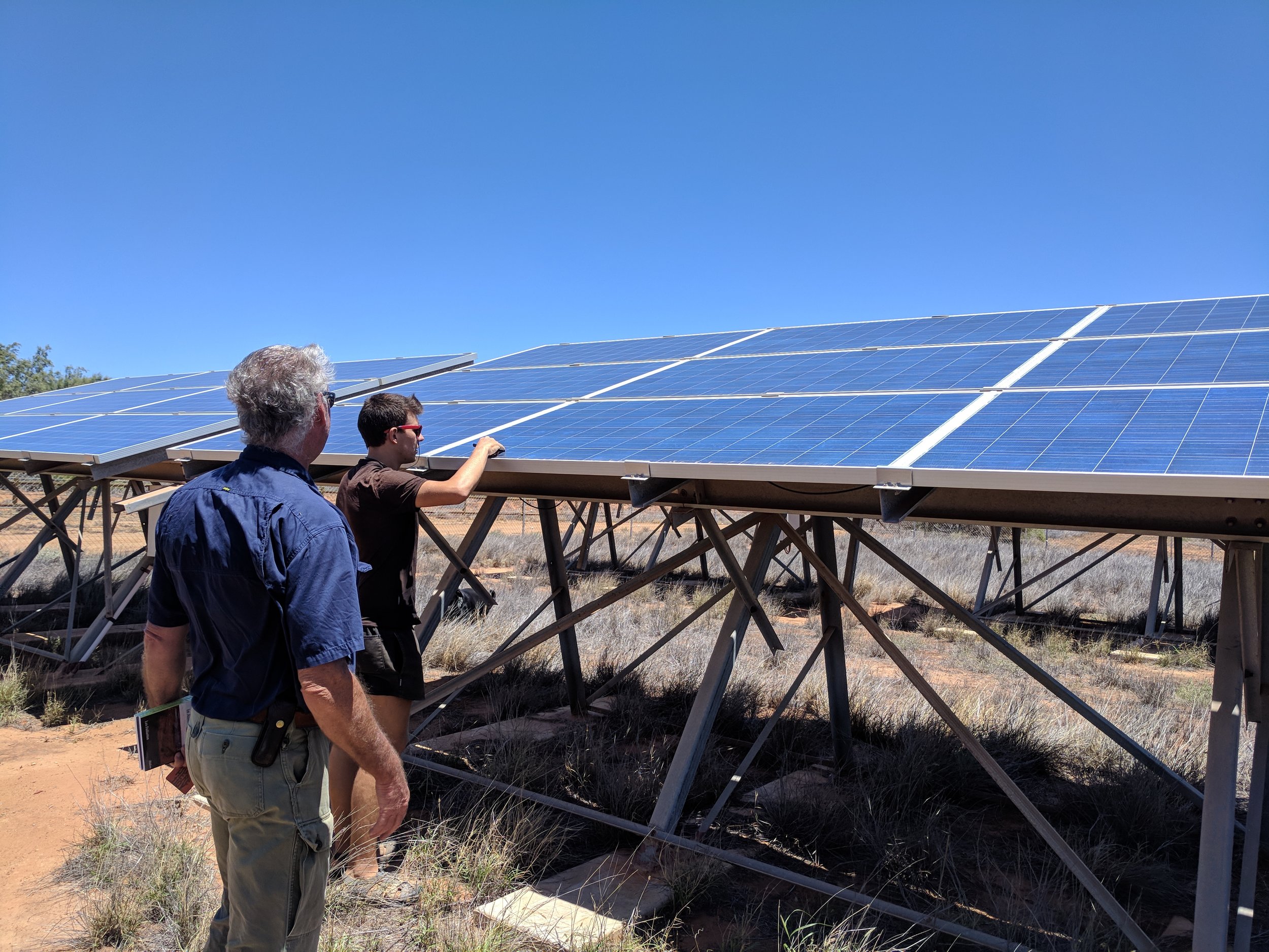
One of Carnarvons new industries is solar power. Here Lex harnesses solar power to create ice. He cools down his store rooms during the day and then lets them “heat” up at night.

Carnarvon is Western Australia’s fruit bowl producing mind staggering amounts of food, up to 70% of Western Australia’s winter fruit and veg. The repetition of commercial growing is mesmerizing. Like an ephemeral monument.

Carnarvon used to export huge amounts of wool. This has declined along with the quality of the landscape.

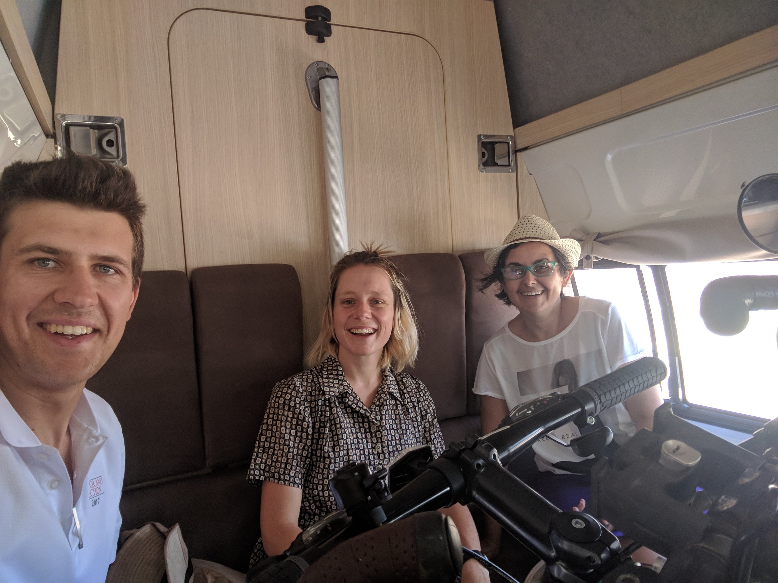
Chriss and Gerard hired a camper-van to visit us, we dutifully commandeered the table and turned this into our office.

We collected a few materials from the tip, which we took back the next day for out local Christmas market stall. Here you can see Gerard being very patient with our architectural critique of plastic pipes.