

CLICK ON THE IMAGE to read more blog
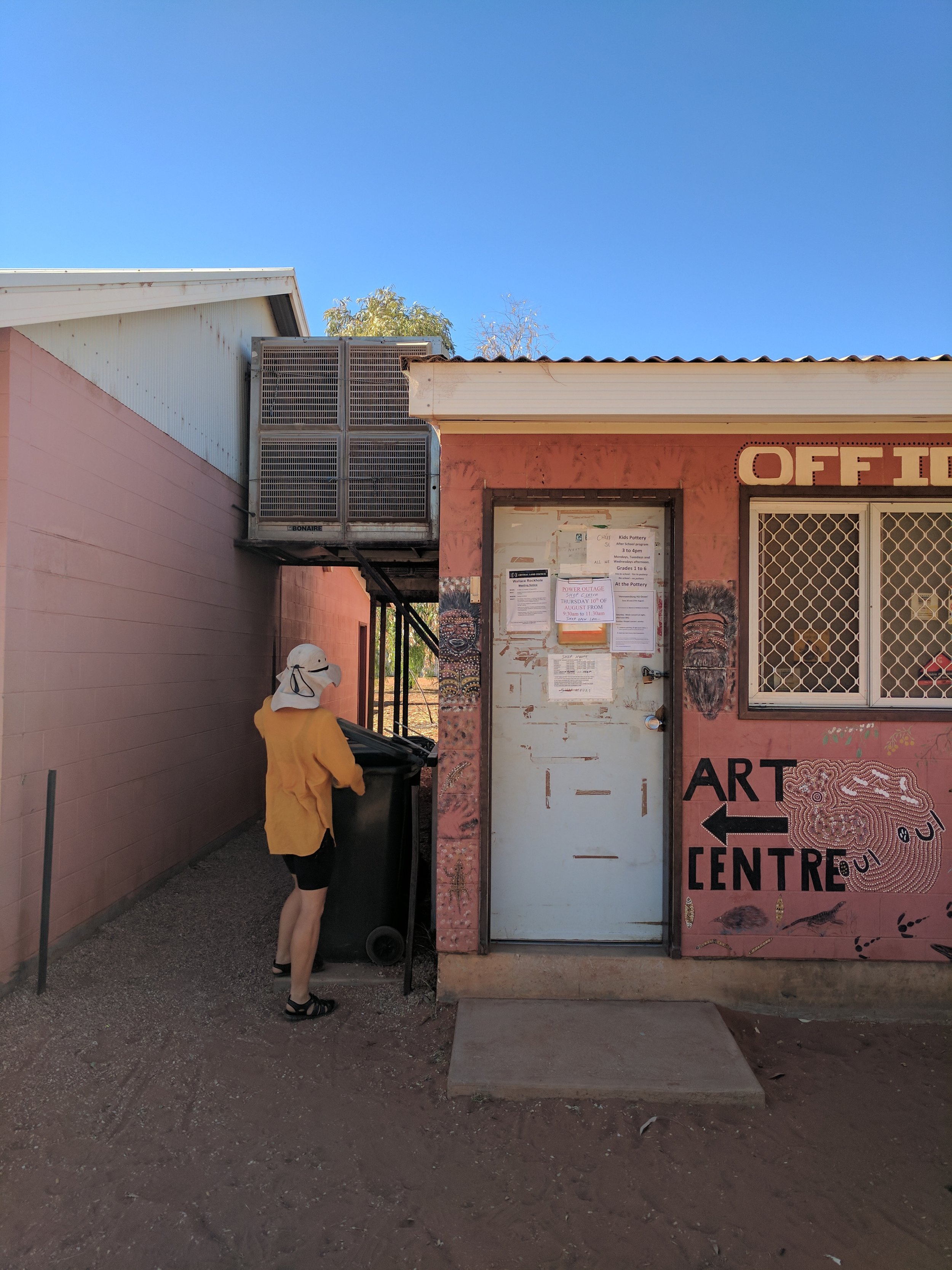
A small indigenous community, 117km south-west of Alice Springs, down a ‘dead-end’ road, at the edge of the sand hill country and nestled into the red face of the James Range.
Government supplied housing, too hot in summer, too cold in winter, bessa-blocks are prolific. Housing is often ill-considered and not designed particular for the place or harsh desert sun and hard bore water. Suburban solutions are fitted to these places where the nearest plumber or handyman may be 120km away.
To document your conversation with a local about how they live and communicate this using a universal language, what language would you use?
CLICK ON THE IMAGE to read more blog

Exploring the local knowledge of an area and how that can influence architecture. CLICK ON THE IMAGE to explore in more detail.
• Traditional Owners = Western Arrerente
• MacDonnell ranges bio region
• Mean annual temps; H-28.8 L-13.2
• Mean annual rainfall; 281 mm
• Population 102
• Elevation 631m
• The gorge at WRH houses the ‘Thuiparta’ , an important place containing engraved rock art known as petroglyphs; stories of how to traverse the landscape
• A permit is NOT required to visit Wallace Rockhole despite what the Central Land Council website says
• It is Western Aranda (or Arrerente) country, which differs from Alice Springs Arrerente people

The windswept campground at Wallace churns all the ground matter together and blows the fine sand away.

We were out of season but witchetty grubs leave their skin as a little reminder

Wallace Rockhole has the most amazing pottery, lots of products are made by locals. A coastie, Su Brown who is a professional potter comes to Wallace every year to help run the pottery bringing tools, skills and enthusiasm. This is a pot from the very early stages of the Wallace Rockhole pottery.

This the canyon that gives the place it names-sake. A semi-permanent water hole tucked up the James Range. This was part of an interconnected network of water holes that indigenous Australians used to navigate through the area. Long term local Ken Porter runs tours and the campground in Wallace and is a wealth of knowledge.

Ken Porter took us under his wing whilst we were in Wallace, taking us out to his cattle yards, sharing stories of his life and the area. His irreverent humour was always refreshing. Here ken teaches us about a “yabbie-trap for horses”
CLICK THE IMAGE to hear an interview we did with Ken

The cattle’s only source of water. Ken makes regular trips up into the ranges to make sure the bore is in good working order to keep his cattle station running.

The yellow light sometimes made drawing difficult. It was handy that you could cook dinner and still talk to the person doing work though.

Our path to Uluru took us through Boggy Hole. We knew it would be hard but this was beyond what we expected. 8 hours of dragging a bike that weighs as much as you through deep sand. You can see the deep tyre marks on the other side of the creek.

Semi-permanent and permanent water holes made for much needed wash downs or water stops on this section.

Soft red sand made riding hard. Sometimes we would drag bikes for hours, at one stage we broke down every 100m as a victory.

This is when we reached a ride-able road after 5 days dragging bikes. Bobbie’s face says it all.

The Boggy Hole Track was a lot tougher than we thought, having to severely ration water, after getting on a busier road people would stop and ask if we needed anything, we would croak “water”. Wonderful!

A friend from Newcastle was doing his med-prac in the centre as we were riding south to join the Lasseter highway, we saw a car go past a vaguely familiar face pressed against the window! In our bike mirrors the car veers suddenly off the road and turns around hooning back towards us. It pulls up just ahead of us and out jumps Mallee screaming “I knew it was you!”

We just got out of the boggy hole track and two security guards drove past, stopped and asked us if we need anything, again we croaked “water”. They said they didn’t have any but they would bring us back some from Kings Canyon along with some meat pies. I don’t know if we have eaten anything quicker! Thanks Skimbo and crew.